Bachelor in Cartography and Remote Sensing Study Program is using ISO 9001: 2008 system and the standards applied by BAN_PT (National Higher Education Accreditation Body) to ensure the quality assurance of the study program. BAN PT (http://banpt.or.id/) is a national board that has the authority to evaluating and grading and stating the quality status and ranking of the university and study program based on the standard of education performance. The accreditation process held every five years. The standard that’s been used are 1) Vision, Mission, Objectives and Targets, and Goal Achievement Strategy, 2) Structure of the Organization, Leadership, Management System, and Quality Assurance, 3) Students and Alumni, 4) Human Resources, 5). Curriculum, Learning System, and Academic Environment, 6) Budgeting, Infrastructure, and Information System, and 7) Research, Community Service, and Cooperation.
The Bachelor in Cartography and Remote Sensing Study Program was accredited by BAN-PT in 2014 and received SK No. 451/SK/BAN-PT/Akred/S/XI/2014, which was valid until November 14, 2019. In 2019, the program underwent re-accreditation and was awarded an A accreditation through SK BAN-PT No. 2946/SK/BAN-PT/Akred/S/VIII/2019, which will be valid until August 7, 2024.

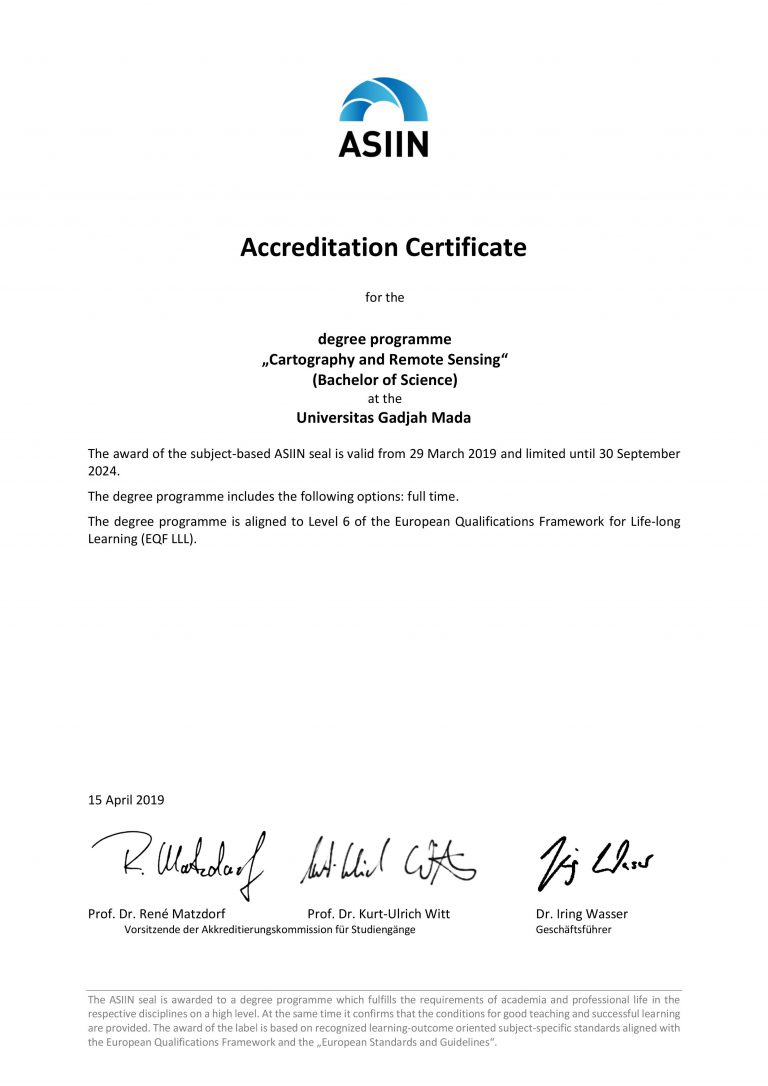
In addition to being accredited by BAN-PT, the Bachelor in Cartography and Remote Sensing Study Program has also received international accreditation from ASIIN (Akcreditierungsagentur für Studiengänge der Ingenieurwissenschaften, der Informatik, der Naturwissenschaften und der Mathematik e.V.) in Germany. This accreditation evaluates not only the program’s curriculum, but also the implementation process in achieving its objectives. The international accreditation is valid for five years until September 30, 2024, and signifies that all business processes of the study program meet quality standards equivalent to Level 6 of the European Qualifications Framework for Lifelong Learning.

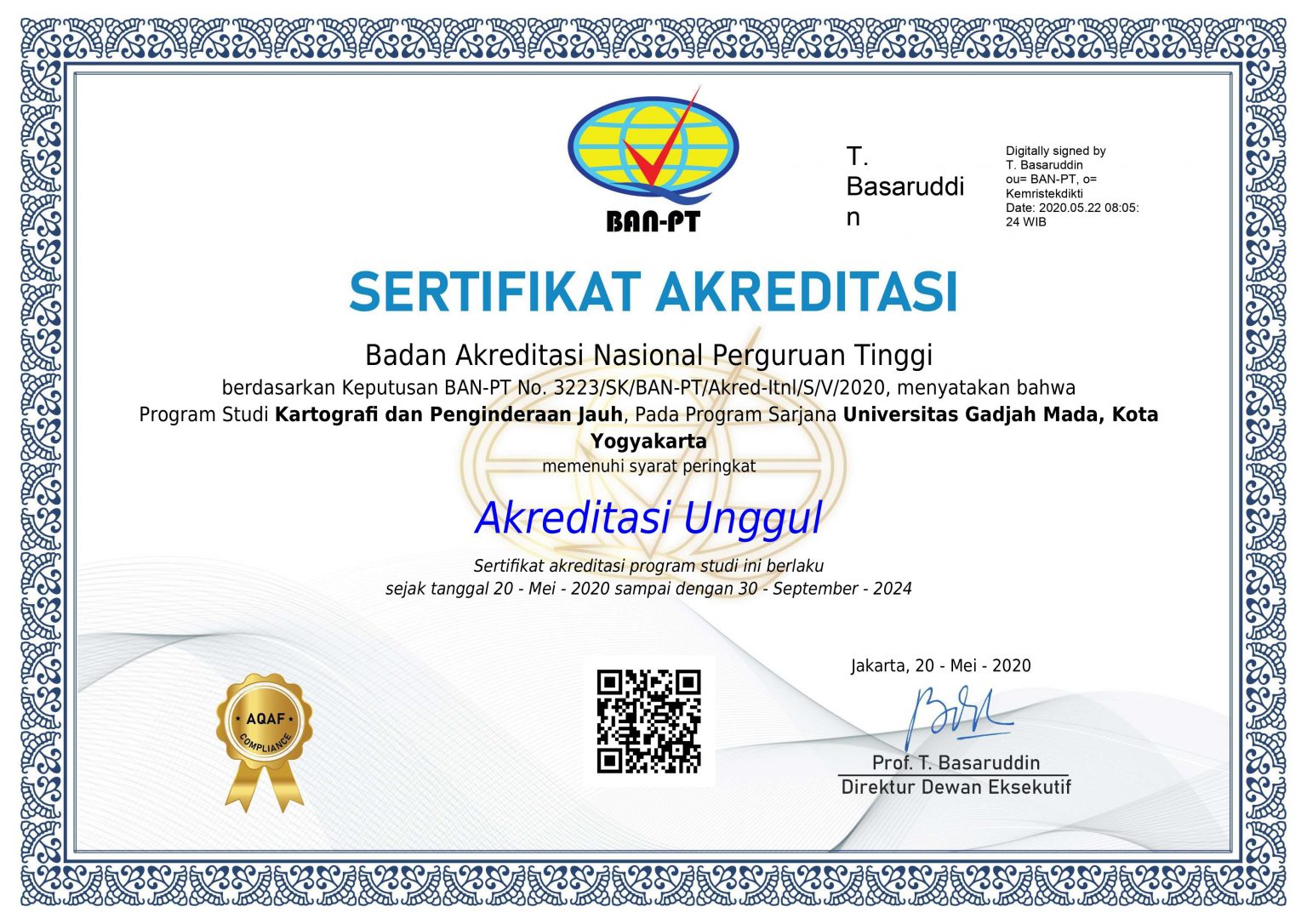
As a result of obtaining the international accreditation, the achelor in Cartography and Remote Sensing Study Program has been granted “Unggul” (superior) accreditation in accordance with SK BAN-PT Number 3223/SK/BAN-PT/Akred-Itnl/S/V/2020 that valid from May 20, 2020, to September 30, 2024.

